Hello there, Valent here, lets go down to climate/biome definitions before we make a map of our planet and stuff, and if you already have it, well, it may need some changes in it's climate.
Well, just before we go down to practical stuff, I would recommend a look into Edgar's (Artifexian) material on the topic, so here a list of his videos, not much more than an hour of watching videos and taking notes:
4. Worldbuilding: How To Design Realistic Climates 1
5. Worldbuilding: How To Design Realistic Climates 2
6. Worldbuilding: Climate Zones Of RETROGRADE Planets
7. Albedo: Mapping with Temperature
Nice, with that in mind, you might already have hand drawn your planet, or digitally made a map, I want to present you with Donjon SciFi World Generator, it creates customized maps and gives you a sample of stats to work with, like planet mass and atmosphere composition, all generated within a seed which could be random, or copied for later recover of the map stats.
The first map of Paart was been generated using Donjon, I will work it forward and backwards in time in order to represent each Era of Paart. So let's start with Paart during the Eoepertonian Period, which came looking like this:
If you haven't saved any of your seeds or stats, don't worry, we can recover much of that using the Image Color Summary, which tells you what are the color proportions in an image, since I haven't saved any stats, I am expecting to get landmass area (orange), icecap cover (white) and ocean area (blue), from it:
Oceans 66,6%
Landmass 23,3%
Icecaps are 10%
This method can be very useful in figuring out how much area a climate covers of our planet, after we color each climate.
Let's first take at look at our planet physical stats:
With a rotational period this long, 22,094h, we can much expect Paart's winds to behave pretty Earth-like, divided in 6 cells.
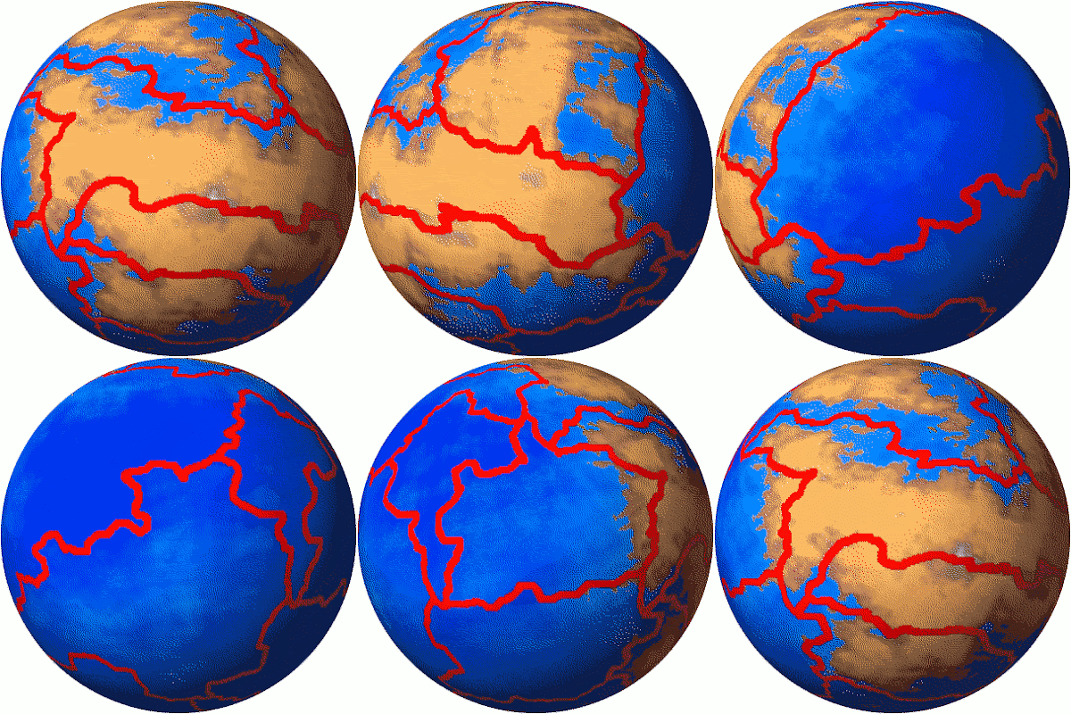
I also divided the planet's crust into 12 plates, that will be 1,8x as active as Earth's.
Plate Map:
Here a globe gif:
Seems alright to me, so this are the Paartene Winds Cells:
And then, here are the Simplified Currents Map:
And now with enhanced relief and currents, ready to work on climates:
Here is the final climate map, as following the videos instructions:
The color purple is a new 'biome' native to Paart, is rocky sterile land of titanium/bismuth and aluminum/ferric compounds.
And here is how it ended up as the final approximation of natural color, note the grey tones of natural rock of titanium carbide in the deserts sand and the blueish shades of green of local vegetation.
Based on this rough albedo model, average and medium channels are 66 and 47 respectively, on a scale of 255, it means our values fluctuates roughly between 25,88% and 18,43%, by area ≥37,24% of our planet surface is responsible for directly reflecting light, clouds and land/ice.
By color code, the minimum albedo is 9,4% and max is 55,6%.
Since 18,43 our lowest average, and is 71,21% of 25,88, we could extrapolate a maximum of 33,12 for our albedo, and average Paart's albedo at 25,81%.
Which means Paart reflects ( 25,81 / 29 = 0,89 - 1 = -0,11 ) ~11% less light than Earth does...
Updating climate data for these new conditions:
Paart's average temperature would wander around 38ºC, 311K, or 100F, way hotter than the previous calculations on atmosphere (13ºC).
As such, atmospheric data at Sea Level: 0,948atm, ~38ºC, 37,13 moles per m³, air density 1,083kg/m³.
Composed of 81,34% N²; 16,51% O²; 1,2% Ar; 0,855% CO²; 0,065% CH⁴; 0,023% Other trace gases, an oxidizing atmosphere. Note the greenhouse situation with 36x more methane 2x as much CO² than Earth does.
Given the amount of work this took to accomplish, I consider making maps in 85~120Myr intervals.
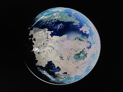
Here are some pictures I took with my phone (oof reasons) rendered with PlanetMaker.
Paart's Western Hemisphere


No comments:
Post a Comment